News
PARC expands its mapping tools with a new interactive map of water laboratories across Europe
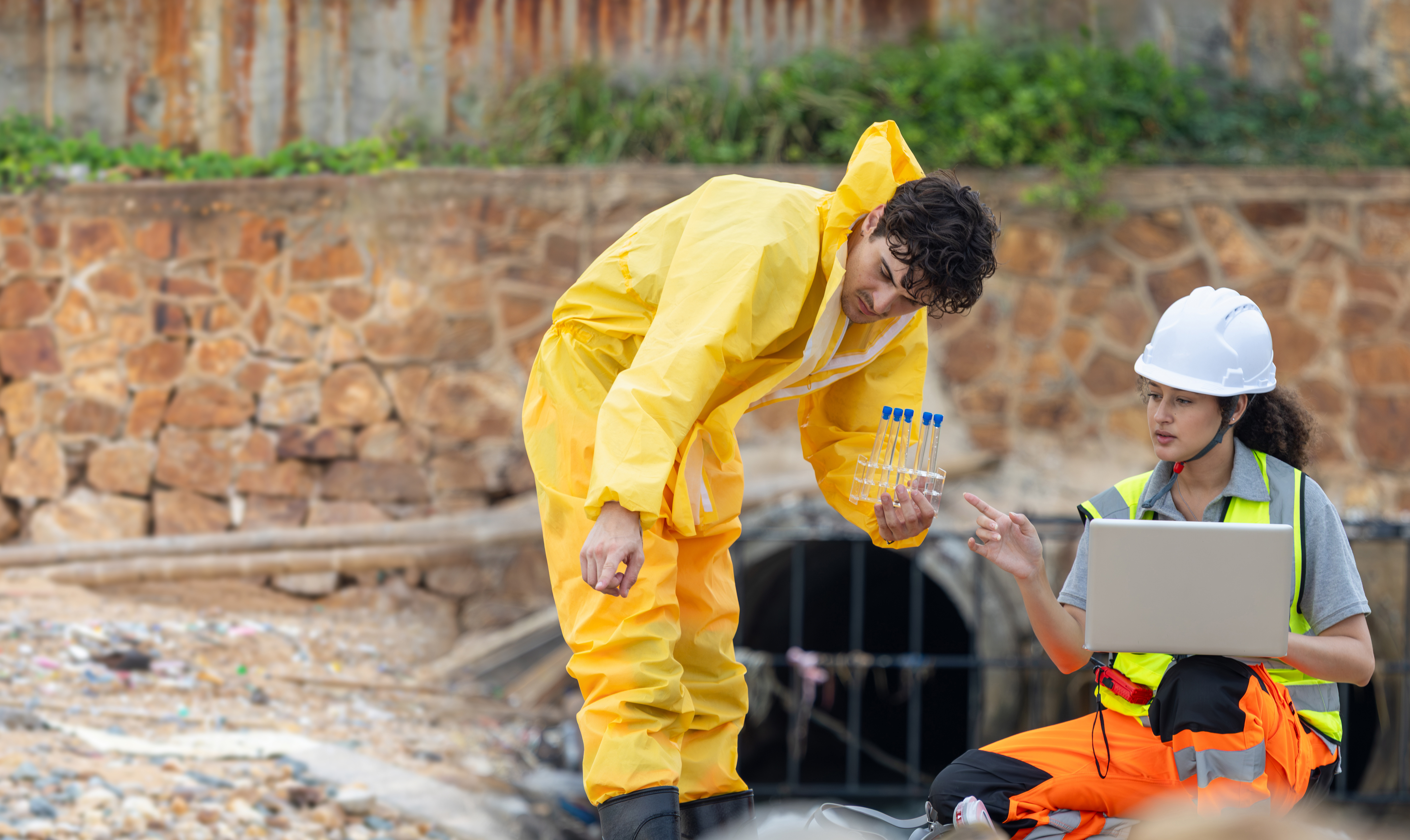
The European Partnership for the Assessment of Risks from Chemicals (PARC) has launched a new interactive map featuring laboratories across Europe working on the analysis of chemical substances in water. The new tool is designed to support easier access to information on laboratory capacities in this field and to strengthen collaboration in areas that are essential for understanding and managing chemical risks in aquatic environments and their implications for human health.
Accessible to policymakers, researchers and the wider public, the map helps users explore laboratories geographically, identify analytical expertise, and connect directly with specialists. By bringing this information together in one place, it makes existing capacities more visible and easier to use, while also supporting more coordinated efforts to monitor chemical substances in water across Europe.
Users can search the map and access detailed information on the types of substances analysed, the water matrices covered – such as surface water, groundwater or drinking water – and contact details for the laboratories included.
Beyond its practical value, the map also helps promote knowledge exchange and strengthen links between laboratories working in this area. By increasing the visibility of existing expertise and capacities, it contributes to a stronger European network and supports the generation of reliable data for chemical risk assessment and science-based policymaking.
This new resource is part of PARC’s broader work to strengthen research infrastructure and human capacities, in particular by supporting more connected laboratory networks and more harmonised approaches across environmental and human health monitoring.
The water interactive map is available on the PARC website, alongside the existing maps of laboratories in the human biomonitoring and air quality domains.